Mountains of Croatia -

Dinara

, 1830m - Info | VR Tour

Explore the hills and mountains of Croatia's highest mountain from the comfort of your computer, tablet or smart phone with these virtual reality tour following one of the key routes to the summit.

Let's Go:


These tour are supported by most modern browsers including those on tablets and mobile phones. When viewed on mobile phones equipped with the appropriate gyros, these tours are also compatible with Google Cardboard VR, and other headsets.

Float cursor over picture button below to view start location (allowing time for Google Map to update) then click to start tour in a new window.
Resume Previous Tour

Please wait for Google Map to load here.
HPO 17.1 Dinara
Start from Bus Stop at Glavaš
Start from Stari Grad
Start from Sinjal

List of HPOs in visited in this tour:


PeakSort

HeightSort

HPOSort

Start Point(s)Sort

Dinara1830mHPO 17.1Glavaš

More Info:


I hope you enjoy this virtual mountain experience. I created the tour from photos taken during a single trip in August 2010. On this occasion I was staying near Rijeka in the north of Croatia, leaving around 5am, I arrived after a draining drive at Glavaš at 10:50am, and began walking, hoping that I had enough daylight for the day's exploration. I met very few on the mountain; a group of three Hungarian hikers above the Martinova Košara shelter, and a friendly Spanish / Basque couple at the summit. The sun shone, but a strong breeze kept me cool all day, and the other dangers Rijekan’s warned me of, snakes and mines, never appeared. In fact, my research back at home had told me that there was actually no mine risk on the route.

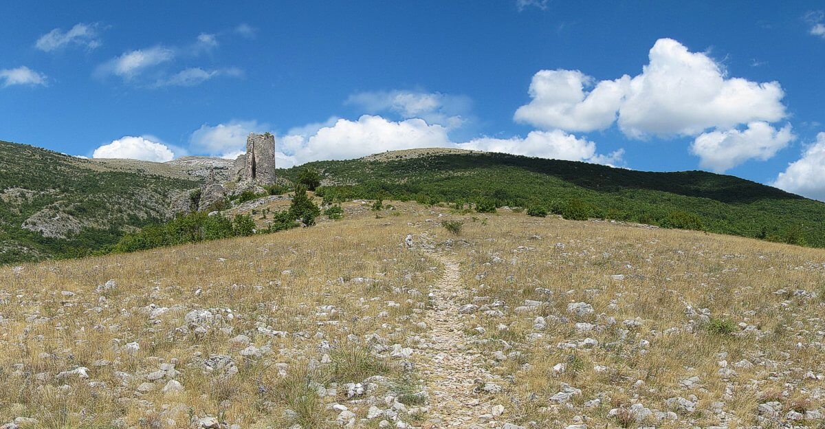
View of Stari Grad, the ruined castle near Glavaš.

That route was extremely well marked, the correct path (often narrow) was clear to read on the ground. From Glavaš the path passed the Planinski Kuci Glavaš, a shipping container like construction painted blue, and with windows, to act as a mountain hut for a specific club. From the hut, the path leads past the ruined castle of Stari Grad, and up into the Pekasova Valley. Climbing out of the valley, one enters a beautiful landscape of karst limestone and leafy meadows. Climbing steadily, one ascends to the ridge which is followed for the most part, to Dinara's highest peak, Sinjal. This is the red route on the map above.

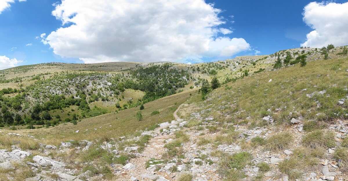
Path traverses the side of the Pekasova Valley.

Want to go for real:


Dinara is not an easy place to get to. I drove down in a hire car, parking near the bus shelter at Glavaš. The existence of the bus shelter suggests that this starting place can also be reached by public transport, most likely from the nearby city of Knin.

There are in fact two other routes. The first of these is the Brezovac Route (highlighted in blue above). Take a wide dirt track from the village of Guge near Knin to the plateau called Suvo Polje (not to be confused with Suho Polje). Normal cars should be left here, off road vehicles can go as far as the Brezovac Mountain Hut itself. On foot, follow the track for 1½ to 2 hours to the Brezovac hut, from which it is a further 2 hours to the summit.

Dinara's third route (highlighted in purple) begins at Suho Polje. This 4/5 hour route tackles Dinara in a steep ascent up the mountain’s impressive southern face and involves the highest climb of all three routes. Whilst the Croatian mountaineering society has informed me the first two routes are mine free, they have not clarified the status of the Suho Polje route.

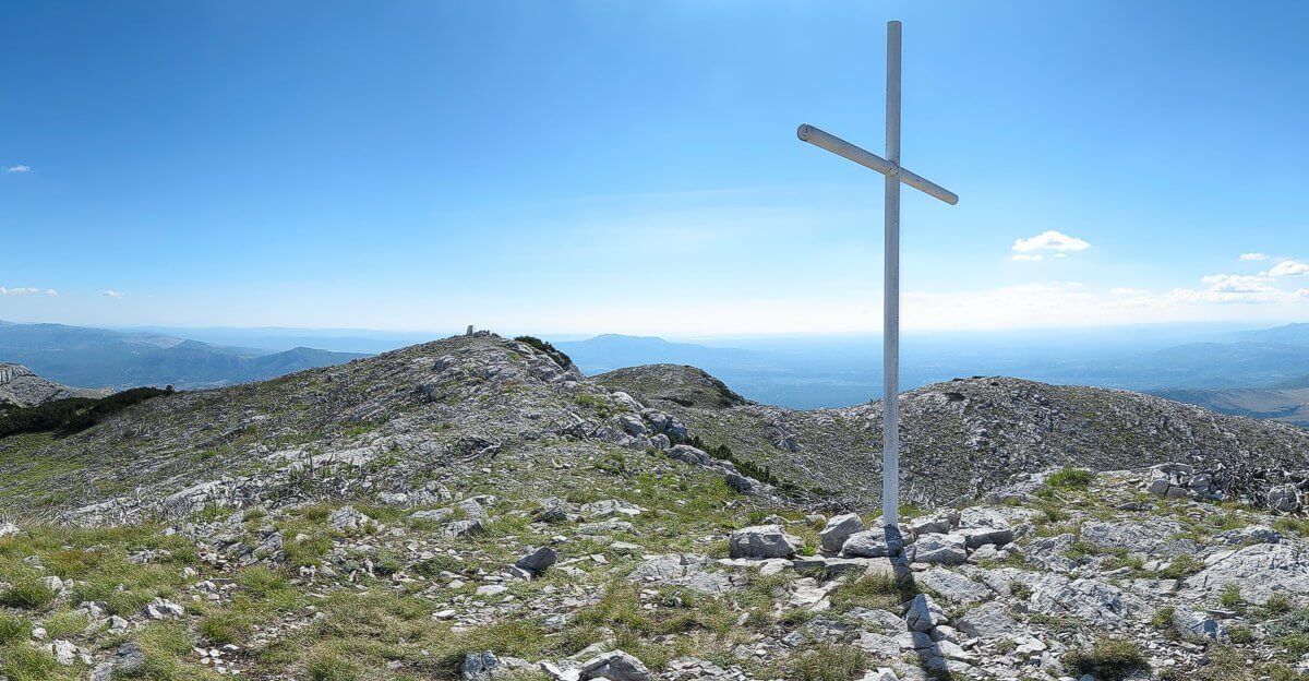
Sinjal, highest peak of Dinara.

Whichever route you take, it is worth purchasing the Smand 1:30,000 map of the area. The positions of the paths have changed slightly since it was published, but it will allow you to plan your trip with greater confidence.