ESC > Montenegro >

Zla Kolata | VR Tour


In this virtual tour, you may visit Zla Kolata, at 2,534m Montengro's unofficial high point. This summit lies in the Prokletije mountains on the Albanian border along with it's twin Dobra Kolata 2,528m. Zla Kolata (or Kolata e Keqe in Albanian) translates as bad/evil Kolata, whilst Dobra Kolata (Kolata e Mirë in Albanian) translates as good Kolata. The meaning of Kolata itself is unclear; the mountains can also be found refered to with Kolac substiting Kolata meaning stake, or pile in Serbian/Montengrin. In Albanian Kala means fortress, so perhaps this is another clue. Neither peak is the highest on the Maja Kolata massive on which they are found, this honour goes to Podi e Kolates (2,553m) which lies entirely in Albania.

The virtual tour follows a mule path from the village of Vusanja to the outlying homes at Zarunica before ascending through the pastures of Fuš Sirma to Ćafa Borit, a pass on the Albanian border. Thus far the route is easy to follow, and probably why I missed the poorly defined waymarked route that forks off to the right above Fuš sirma to the small meadow of Katun Grlata. Katun Grlata is easily gained from Ćafa Borit and the waymarked path followed to Ćafa e Preslopit before the ascent in the glaciated basin to the sadle between Dobra Kolata (on the left) and Zla Kolata (on the right).

The 192 km Peaks of the Balkans trail follows some of the same paths in this tour, namely from Ćafa Borit to Ćafa e Preslopit. So perhaps this VR tour can be a taster for this developing wilderness trail.

Now its your time to explore.

Float cursor over picture button below the map to view start location from above.
Resume Previous Tour
Please wait for Google Map to load here.
Select your start location
Start from Vusanja
Start from Ćafa Borit
Start from Ledena Pecma
Start from summit of Zla Kolata

Zla Kolata:


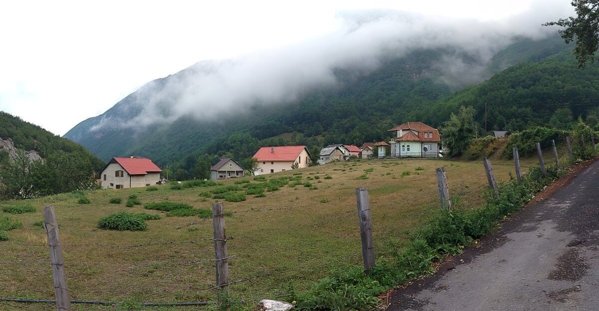
A hike to summit Zla Kolata begins for most people in Vusanja. By comparison, Vusanja is a remote mountain village and lays spread out over a hillside between 1000 m and 1100 m.

The mountain village of Vusanja, Montenegro.
VR Logo The mountain village of Vusanja, Montenegro.

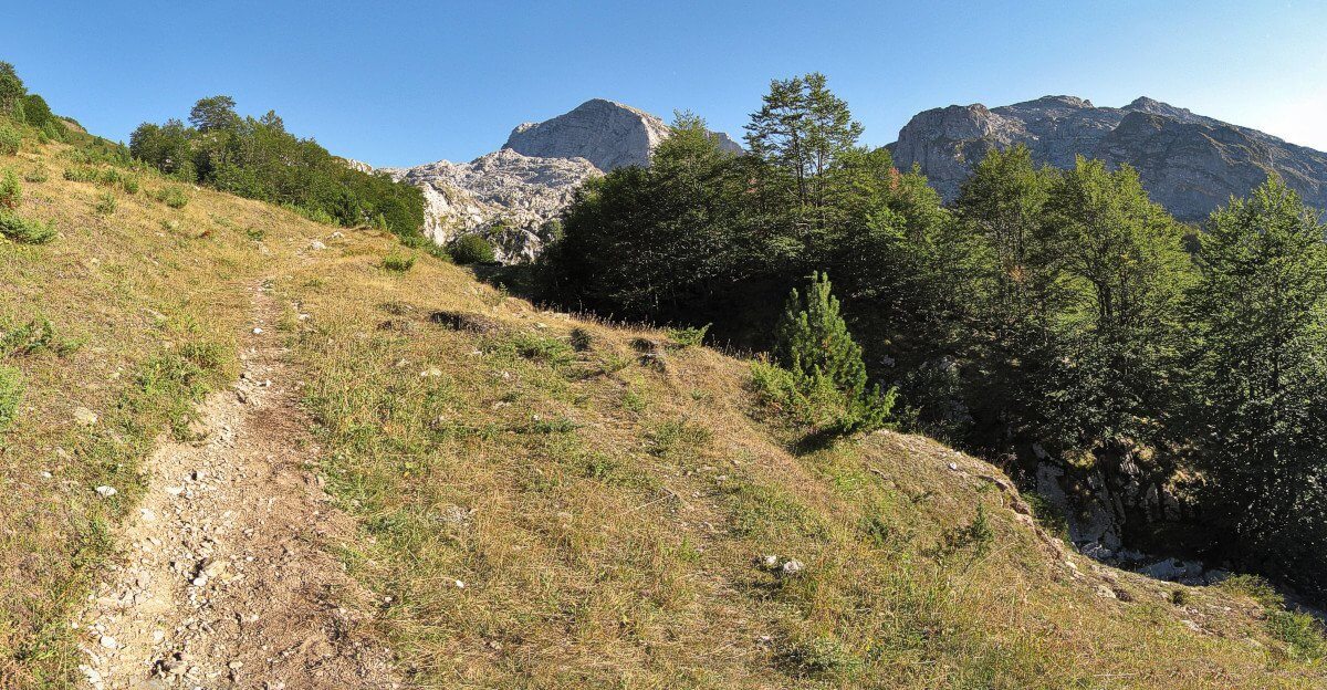
From the village a mule track can be followed westward out of town and gently up hill on the northern side of the valley. The mule track passes smaller clusters of homes as it ascends to mountain pastures and the pass of Ćafa Borit on the Albanian border. If you reach the border marker's you have followed the mule track too far, but not to worry as you will have had the benefit of passing some path side springs.

Rather you should have turned left earlier on a less distinct path toward the pastures of Katun Grlata. A katun is the name given in Montengro to family lands, typically with a small hut or huts, in the mountains used during the summer months for grazing livestock.

The path to Ćafa Borit and Zla Kolata.
VR Logo The path to Ćafa Borit and Zla Kolata.

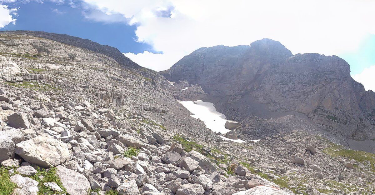
From Katun Grlata the ascent steepens and the route turns southwest then southward. Here is passes Ledena pećina which translates to Ice Cave. A giant key hole like fissure in the rocks emanates a cooling breeze. Unlike a similar ice cave passed on the ascent of Montenegro's Bobotov Kuk, there is no view of, nor easy way to descend to the hidden ice.

The path you follow southwards past Ledena Pecma leads to another pass on the Albanian border, Ćafa Proslopit (Qafa e Prosllopit in Albanian) at an elevation of 2039 m. With 1000 m of ascent under your belt, it is half that again in the 1.5 Km remaining.

The first section of that ascent leads you to Prevoj Kolata, a saddle that divides good and evil, Dobra Kolata from Zla Kolata. A little further and you stand at the highest point in Montenegro.

The ascent to Prevoj Kolata.
VR Logo The ascent to Prevoj Kolata.


About:


I hope you enjoy this virtual mountain experience. I took the panoramas with Micrsoft's Photosynth App on an iPhone back in August 2012.Expand article

This was my second visit to Montengro, the first had been a few years previous when I had hiked up Bobotov Kuk on Durmitor in May 2007, the country's official high point and subject to an existing virtual tour. Zla Kolata was a far more favourable trip with excellent weather and visability rather than the snow, slush, and whites outs that dogged me on Bobotov Kuk. Expand article